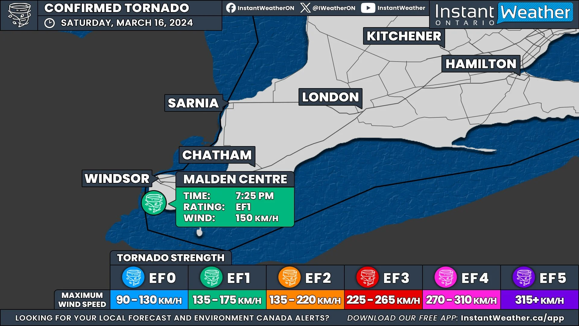
First Tornado of 2024 Confirmed in Ontario on March 16th; Ties With Earliest Tornado on Record
/In an unusually early start to the tornado season, Ontario recorded its first confirmed tornado of the year on March 16th. This event ties with the record for the earliest tornado occurrence in the province, a record previously set in 2016 in Clifford, Ontario.
Map showing the tornado track just south of Malden Centre, and points where damage was documented.
SOURCE: NORTHERN TORNADOES PROJECT
The Northern Tornadoes Project (NTP) confirmed the tornado following a comprehensive damage survey in the Malden Centre area, south of Windsor, where significant damage was reported.
Roof debris downwind, and roof of second double-wide mobile home with half of its roof off.
SOURCE: Kevin Sprague / NORTHERN TORNADOES PROJECT
Rated as an EF1 on the Enhanced Fujita Scale, the tornado reached maximum wind speeds of about 150 km/h. The most significant damage was noted where a double-wide mobile home had its roof completely removed. Other damages included shingle destruction, a downed tree at another residence, and extensive damage to trees in surrounding woodlands.
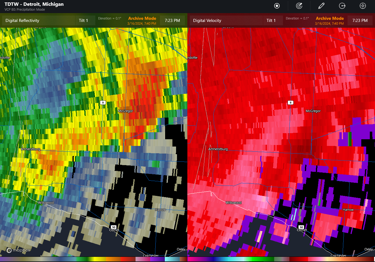
TDTW radar at 7:23 pm EDT showing main storm near Essex producing severe hail (left image), and gust front trailing back to the southwest with embedded area of rotation right over the location with the roof removed (lower middle of image at right). The rotation is apparent only in the two lowest tilts (second tilt not shown).
SOURCE: NORTHERN TORNADOES PROJECT
Classified as a QLCS (Quasi-Linear Convective System) tornado, it developed along the leading edge of a thunderstorm's outflow. Radar data from Detroit Metro Airport clearly showed a tight rotation at the exact locations of the reported damages. There were no preceding tornado warnings and no reports of severe weather from nearby Michigan, although the storm did produce severe hail in parts of Ontario.
Drone image showing trees down to the ESE along the path of the tornado (circled).
SOURCE: NORTHERN TORNADOES PROJECT
The tornado's path was approximately 1.10 kilometres long and reached a maximum width of 100 meters. The damage to trees was presumably less severe than it might have been if the trees had been in leaf, which could have resulted in more extensive damage.


