March to go Out Like a Lion for Parts of Central Alberta
Published: Monday, March 30, 2020 - 3PM
Forecaster: Alannah Franks
Mobile Tip: You can zoom into the map by clicking on it. The map will open in a new tab that is easily zoomable.
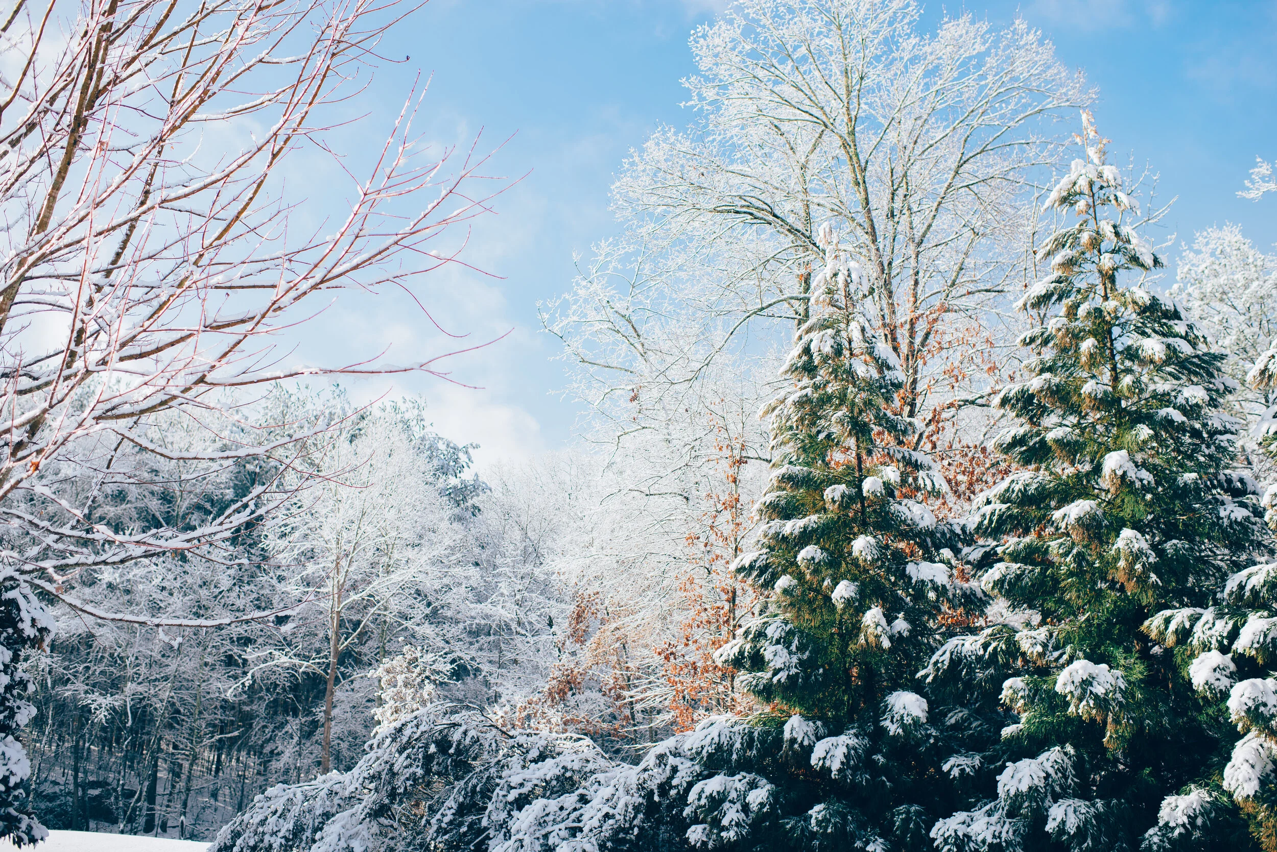
As we come to the end of March, winter is still hanging on with Snowfall Warnings being issued by Environment Canada. Starting this evening, this latest system is expected to drop up to 10cm of snow across most of Central Alberta and up to 20cm from Edmonton and eastward.
The snow will begin through the Rockies this afternoon and start to intensify by 6pm this evening as it begins to spread to the northeast. The snow will continue to spread throughout Central Alberta overnight and into the early morning. The snow should begin to dissipate late Tuesday morning before clearing up completely in the afternoon.
The heaviest snow is expected to affect much of Central Alberta, even more so in the eastern areas. Total accumulation when the system fully moves out of the province will range from less than 5cm to 20cm. The area from southeast of Slave Lake, through Edmonton and down to Red Deer and across to the Saskatchewan border will be the hardest hit with up to 20cm of snow. The 10-20cm zone covers much of the rest of Central Alberta; including Grande Prairie,Peace River, Slave Lake, and Drumheller; and through most of the Rockies. There is expected to be a bit of a drier section that runs along the eastern edge of the mountains and down into Southern Alberta and these regions are expecting 5cm or less.
With April just around the corner, it seems like only a matter of time before we’ll be forecasting summer weather. Hopefully it’s not much longer!


