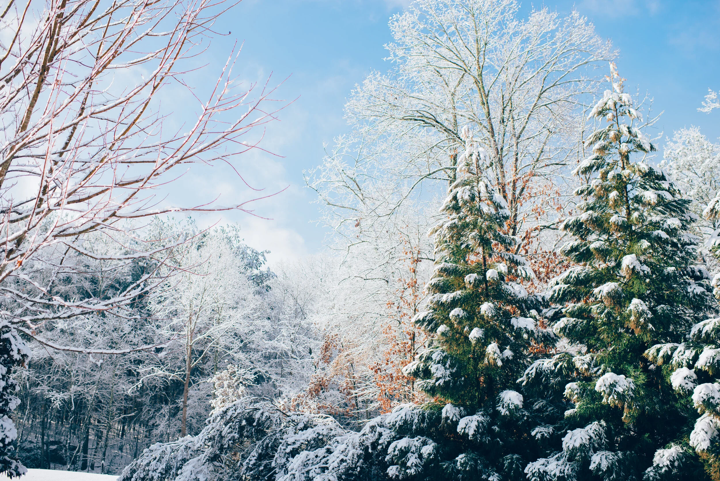
A Late Winter Blast for Southern Manitoba With Up to 20–30cm of Snow Between Wednesday and Thursday
Valid: Wednesday, April 1, 2020 (12AM) - Thursday, April 2, 2020 (8AM)
Mobile Tip: You can zoom into the map by clicking on it. The map will open in a new tab that is easily zoomable.
Forecast Discussion
Issued: Tuesday, March 31, 2020 - 4:10PM
Forecaster: Brennen Perry
A late winter storm is taking aim at Southern Manitoba starting early Wednesday morning with a variety of precipitation types expected depending on where you are in the province. The first effects from this system will be felt in Southwestern Manitoba along the Saskatchewan border where it appears that precipitation will start as a rain with even the risk of non-severe thunderstorms Tuesday evening.
Temperatures will quickly plummet from the high single or low double digits to near the freezing mark overnight and into Wednesday morning. This will allow for the transition from rain to wet snow in many areas, especially through the Parkland region where temperatures are likely to drop well below the freezing mark. There is the potential for several hours of freezing rain throughout Southwestern Manitoba during the early morning hours of Wednesday before it switches over to the snow.
We’ll start to see the intensity of the snow begin to increase substantially late Wednesday morning and during the afternoon with the focus on the Roblin, Dauphin and Swan River area. Snow will continue for much of the day on Wednesday although it will begin to weaken as we head into the evening and the system moves off into Northern Manitoba and Ontario.
When it comes to total snowfall accumulation, it will vary significantly as some areas will see lots of rain mixing in which would reduce the expected accumulation. We believe the hardest hit area will be the Parkland region including Roblin, Dauphin and Swan River since they’ll remain well below the freezing mark for most of the duration of this event. They can expect final totals between 20-30cm though there is the potential some areas see locally over 30cm. Moving further to the southeast, a zone including Russell and Minnedosa could pick up between 15-25cm of fresh snow. Outside of those two zones, the forecast gets tricky because accumulation will be dependent on how much rain mixes in so a town might get 15-20cm while another town just down the road gets barely 5cm. This ‘uncertain’ zone includes Brandon, Virdin, Souris and Neepawa which we have at either 5-10cm or 10-20cm, but we could be way off if temperatures are slightly colder or warmer than expected.
The rest of Southern Manitoba will just see a few centimetres of wet snow with most of it melting on contact. Winnipeg will likely see just rain from this system and any snow that does come down isn’t expected to accumulate with the best chance early Thursday morning. All precipitation will come to an end by late Thursday morning for Southern Manitoba. Another system may affect Southern Manitoba late Thursday or early Friday although the exact track of the heaviest precipitation remains uncertain. This could bring some accumulating snowfall to Southeastern Manitoba including Winnipeg, but it’s way too early to talk numbers. We’ll continue to keep a close eye on that and issue a forecast in the coming days.
Your business could be here!
If you're interested in connecting your organization with our amazing community by sponsoring our forecasts, please visit: instantweatherinc.com/sponsor


