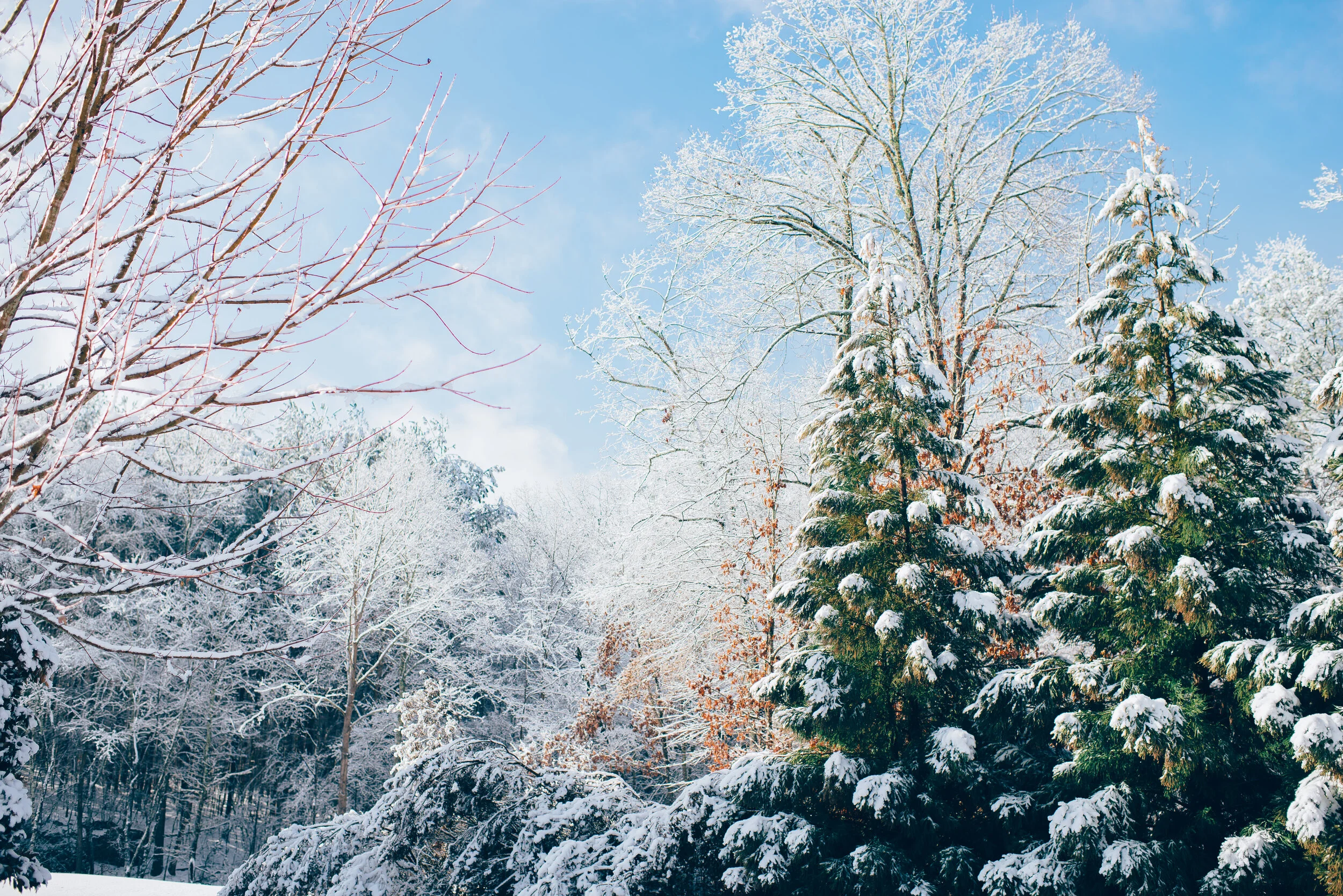
Bitter Cold Windchills to Grip New Brunswick by Friday (Jan 17)
Valid: Fri, Jan 17, 2020 - Sat, Jan 18, 2020
Mobile Tip: You can zoom into the map by click on it. The map will open in a new tab that is easily zoomable.
Forecast Discussion
Issued: Wed, Jan 15, 2020 - 4PM
Forecaster: Mike Schut and Harry Schut
Have you wondered where winter is this year? Well, a pattern change is in the works. The coldest weather this year is being ushered in with the system on Thursday, and by all accounts it's here to stay for a while. This pattern change is quite normal, though it would seem to be late this year.
Winds gusting to 60km/h will make the -20*c temperature feel more like -32. The colder temps as noted, will be in northern New Brunswick. Friday will be the coldest.
The strong winds will likely cause blowing and drifting snow, reducing visibility, and make driving difficult.
Thursday's system has shifted even further southeast, meaning less snow for south and southwestern NB. Highest accumulation (SW NB) now looks to be more in the 6-10cm range.
We'll post more detail on Sunday's storm likely later tomorrow or Friday. It appears to be a real snowmaker.
Stay safe & Warm
~ IWNB
Your business could be here!
If you're interested in connecting your organization with our amazing community by sponsoring our forecasts, please visit: instantweatherinc.com/sponsor


