Developing Snowstorm Sets its Sights on Parts of Saskatchewan and Manitoba
/A moisture-loaded system coming up from the south late this weekend will collide with a cold front dropping in from the north. This setup is expected to bring the first true taste of winter to parts of Saskatchewan and Manitoba.
Rain will arrive first on Sunday as warmer air briefly moves in. As the cold front pushes through, temperatures will begin to fall and pockets of wet snow are expected to start forming in central Saskatchewan by late Sunday morning. Through the afternoon and evening, this snow will spread eastward and become more widespread.
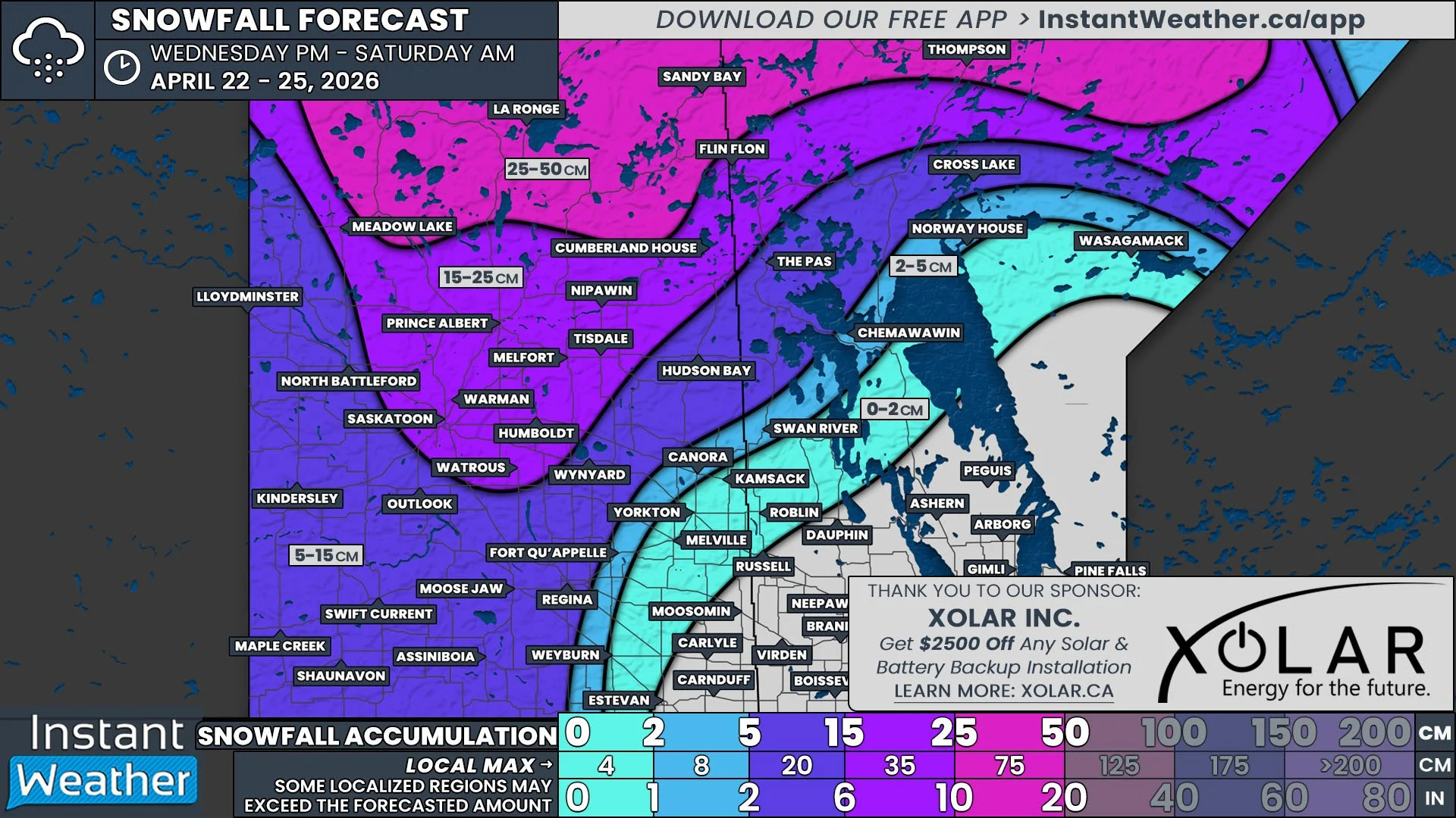
The ground is still relatively warm for mid-October, so the first flakes will likely melt on contact. Once snowfall rates increase, the snow will start to stick, especially on grassy areas, vehicles, decks, and untreated road surfaces. Since the system begins as rain and may end as rain in some areas, exact snowfall totals are tricky to pinpoint. Even so, some parts of Saskatchewan could see as much as 10 cm by Sunday night where the snow is heavier and more consistent.
Northern Manitoba has a better chance at seeing more impactful snowfall. Snow is expected to move in Sunday evening and continue through Monday afternoon. In the higher-impact zone shown on the forecast map, up to 20 cm of wet, accumulating snow is possible if temperatures stay cold enough. Areas just outside the main zone may still see flakes mixing in with rain, especially overnight when temperatures briefly drop near or just below freezing.
Winds will also be a big part of this system. Gusts will begin increasing Sunday afternoon and peak overnight. The Euro model is showing extreme gust potential over 150 km/h in one of its runs, which is likely overdone. However, gusts in the 90 to 100 km/h range are possible and much more realistic, especially across Southern and Eastern Manitoba. These strong winds, combined with wet snow or heavy rain could lead to poor visibility, messy travel and slushy, wind-driven road conditions.
This is a classic early-season system where small temperature changes will make a big difference. Some areas may just see cold rain, while others could see a surprising amount of wet snow in a short time. Conditions may change quickly through Sunday and Monday, with a true November-like feel even though it is only mid-October.
We will continue to update this forecast as new data comes in and the system approaches!


