Three Additional Tornadoes Confirmed Across Alberta From Earlier in 2023

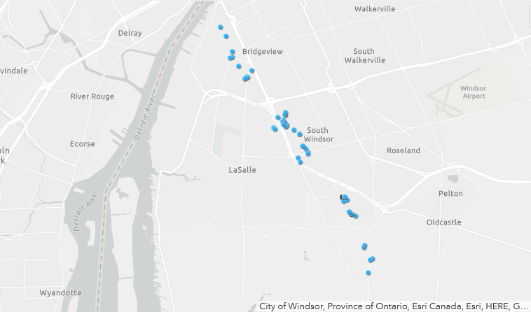
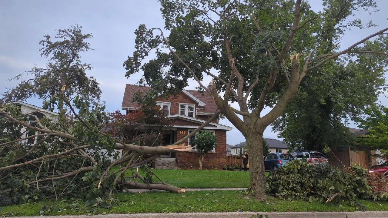
After each tornado season, the Northern Tornadoes Project (NTP) reviews satellite imagery of treed areas across the country to find evidence of tornado damage that may have been missed due to a lack of reports or poor radar coverage.

After completing their review of Alberta, the NTP has catalogued three new tornadoes for the 2023 season. With the additional confirmed tornadoes, the overall 2023 tornado count for Alberta stands at 19.


GOOGLE AD (NOT ENDORSED BY INSTANT WEATHER)

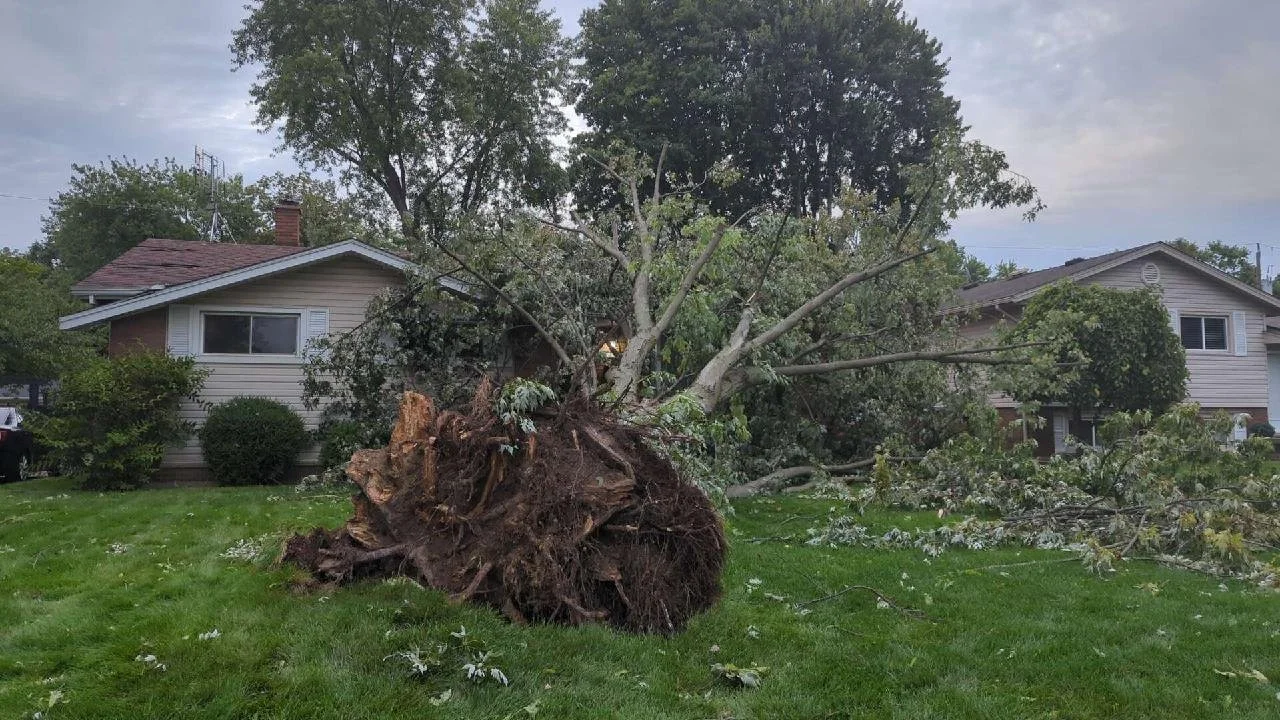
The first new tornado was an EF1 that touched down near Lawrence Lake, to the east of Hondo, at approximately 4:00 pm on May 23rd, with an estimated maximum wind speed of 145km/h.

The second tornado was also an EF1 and this one touched down near McGregor Lake, northeast of Nordegg, on June 17th at approximately 1:10 pm with estimated maximum wind speeds of 145km/h.

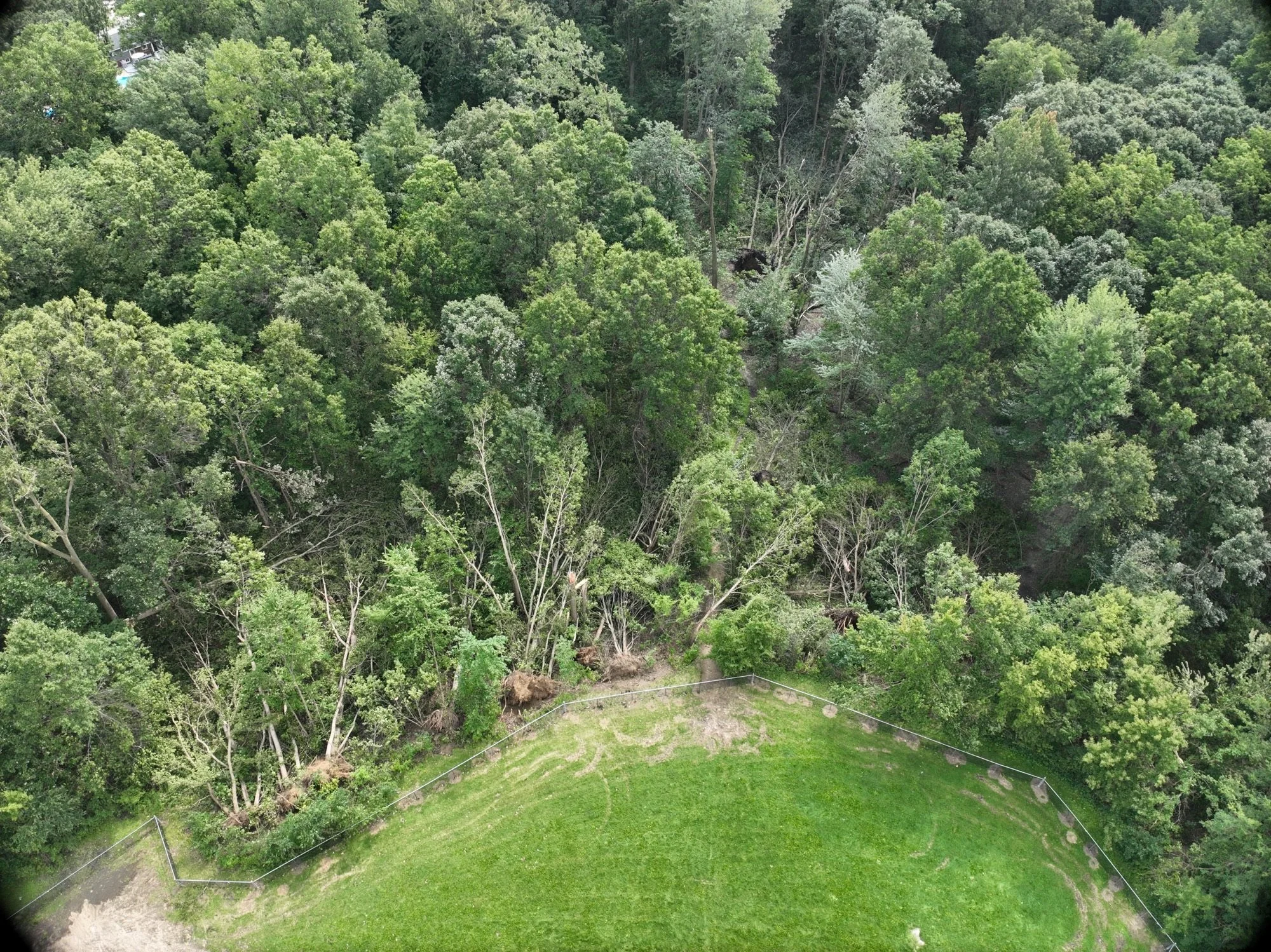
The third tornado was an EF0 west of Cynthia. This particular tornado was found as a result of a private drone survey that showed tornadic tree damage in a forest that had recently been impacted by a fire. Further investigation established that this tornado had touched down at approximately 6:05 pm and had maximum wind speeds of 105km/h.


GOOGLE AD (NOT ENDORSED BY INSTANT WEATHER)

Windsor’s Third Tornado of 2023 Ties It With Ottawa in a Contest That Neither City Wants to Win

IMAGE COURTESY OF THE NORTHERN TORNADOES PROJECT (NTP)

The NTP has confirmed that Windsor’s third tornado of the season touched down at 10:30 PM on Thursday, August 24th, 2023. NTP’s damage investigation revealed that the tornado was on the ground for 11.6 kilometres and had a maximum width of 470 metres. The estimated maximum wind speed was 125 km/h, which classifies this tornado as an upper-end EF0 and only 10km/h shy of a low-end EF1. They also estimate the forward-motion of the tornado was 80km/h. 

IMAGE COURTESY OF THE NORTHERN TORNADOES PROJECT (NTP)


We at Instant Weather sent out a “TORNADO POTENTIAL” notification at 10:18 PM that specifically mentions Windsor, 12 minutes in advance of the tornado (https://instantweather.ca/2023/08/25/TN5azD-tornado-potential/) during our livestream (https://www.youtube.com/live/tvNR6bM37S0&t=9053).

IMAGE COURTESY OF THE NORTHERN TORNADOES PROJECT (NTP)

Environment Canada issued a Tornado Warning for Essex County at 10:36 PM, 6 minutes after the tornado began and unfortunately, it did not mention Windsor was in the path; “Locations impacted include: Amherstburg, LaSalle, McGregor, Colchester and Harrow.” (https://instantweather.ca/2023/08/25/GAadqr-tornado-warning-replaces-severe-thunderstorm-warning/).

IMAGE COURTESY OF THE NORTHERN TORNADOES PROJECT (NTP)

Environment Canada did, however, forecast a "High Risk” for severe weather that included the risk for a tornado at 11:29 AM (https://twitter.com/ECCCWeatherON/status/1694733744320487555) along with mentioning a risk of a tornado in their Severe Thunderstorm Watch (https://instantweather.ca/2023/08/24/ZysJ2g-severe-thunderstorm-watch-issued/). Additionally, Environment Canada issued a Severe Thunderstorm Warning for Essex County at 9:34pm (https://instantweather.ca/2023/08/25/lrF3yo-severe-thunderstorm-warning-issued/). However, it had no mention of a tornado risk.


IMAGE COURTESY OF THE NORTHERN TORNADOES PROJECT (NTP)

We sincerely hope that everyone stayed safe in the path of these dangerous storms and we’re grateful that we were able to help provide advance notification to our community members who were in the path.

If you do not have our free app and would like to receive our custom notifications such as rotation detected, damaging winds, funnel cloud reports and in rare cases; tornado potential, download our free app at https://InstantWeather.ca/app.

A huge thank you to our passionate community for helping us get the word out about tornadoes and severe weather! Our thoughts remain with all those affected by Thursday’s storms.

EF0 Tornado Confirmed South of Hamilton, Ontario on Saturday Morning

The Northern Tornadoes Project (NTP) has officially verified the occurrence of a tornado near Caledonia, Ontario, during the morning hours of Saturday (August 12, 2023, at 10:15 AM EDT). The tornado's impact resulted in EF0 damage, primarily affecting trees within the vicinity.


The visual evidence captured by witnesses, including images and videos of the funnel cloud, prompted the NTP to launch an investigation into the event. Their findings unveiled a narrow path of damage situated to the northeast of Caledonia. This affected area showcased characteristics of snapped stems and broken branches, along with indications that the tornado had lifted larger branches.


In terms of intensity, the tornado's maximum wind speed was estimated at 115 km/h. It followed a track length of 5 kilometres, with its maximum path width spanning 150 meters.

This radar scan at 9:59 AM from the King City radar as shown on IW Pro provided an early indication of potential tornado activity to the northwest of Caledonia. This rotation eventually materialized into the confirmed tornado, which touched down approximately 15 minutes later northeast of Caledonia.


Based on the radar-detected rotation, Instant Weather sent out a ‘Tornado Potential’ notification at 9:53 AM. This advance notification specifically identified Caledonia as an area potentially at risk where the tornado eventually touched down around 20 minutes later:

We've detected tornado potential with this storm near #Middleport, tracking east towards the #Caledonia and #MountHope region. Significant damaging winds are present on radar as well.

Tornado potential means this storm could produce an isolated tornado.

Environment Canada issued a severe thunderstorm warning at 10:18 AM which included Caledonia, however, it didn’t mention any tornado risk.

One Year Later: Reflecting on the Impact and Recovery from the Historic May 2022 Canadian Derecho

Storm damage in Uxbridge, OntariO - Photo courtesy of the Northern Tornadoes Project (NTP)

On May 21, 2022, Southern Ontario and Quebec were hit by a devastating derecho, an event that would be ingrained in the memories of millions of Canadians. Described as one of the most impactful thunderstorms in Canadian history, the derecho wreaked havoc across a 620-mile-long track, resulting in unprecedented levels of destruction and loss. Now, a year later, we look back at the event, the recovery efforts, and the ongoing investigations into this historic event.

Understanding Derechos

A derecho is a type of violent, fast-moving windstorm associated with severe thunderstorms and characterized by a long-lasting, straight-line windstorm that spans hundreds of kilometres. These storms are not common in southern Canada. Typically, derechos in this region form during mid-summer when a hot and muggy air mass covers the Midwest and Ohio Valley. These derechos tend to develop on the northern boundary between the hot, humid air and cooler, drier air where there is also an elevated mixed layer.

The Birth of a Storm


The May 2022 derecho was born out of a persistent May heat wave that had initially enveloped the U.S. and gradually expanded northwards to cover Southern Ontario and Quebec. Unseasonably warm temperatures, more akin to July, laid the groundwork for this high-impact storm. The storm system first formed south of Chicago and, by the morning of May 21, had developed into significant wind-producing thunderstorms in Michigan. The derecho coalesced into a bow front approximately 100 km wide as it hit London, Ontario, continuing to intensify as it moved eastward through the region.

The Aftermath

The storm caused widespread damage to residential and commercial properties and public utility infrastructure. At least twelve people lost their lives, primarily due to falling trees, while an estimated 1.1 million customers were left without power, some for a week following the storm. The financial cost was staggering, with the estimated insured damage totalling C$875 million, making it the sixth-costliest natural disaster in Canada in terms of insurance claims,

The recovery process was equally monumental. Southern Ontario, in particular, was hit hard by the derecho. From Ottawa to Toronto, communities pulled together to repair and rebuild the damaged properties and restore a semblance of normalcy. One year on, the effects of the derecho can still be felt, both in the physical landscape and in the emotional toll taken on the inhabitants of the affected areas.

Ongoing Investigations

damage path from the northern tornadoes project

The Northern Tornadoes Project (NTP), an organization devoted to the study of tornadoes and severe weather in Canada, has been diligently investigating the May 2022 derecho. As per their latest findings, the derecho caused 12 fatalities and 12 injuries. Their research suggests that the number of victims may increase as the impacts of the storm continue to be investigated.

The May 2022 derecho also marked the first time that Environment Canada used a new broadcast-intrusive through the AlertReady system to deliver a severe thunderstorm warning due to wind gusts exceeding 130 km/h. This new warning capability was crucial in mitigating the number of casualties, which could have been even higher had the new system not been utilized.

Reflection and Lessons Learned

As we reflect on the one-year anniversary of this historic event, the combined efforts of communities, governmental organizations, and scientific bodies like the NTP have given us valuable insights and lessons. The 2022 derecho serves as a stark reminder of the power of nature and underscores the importance of weather forecasting, community preparedness, and ongoing scientific research in mitigating the impact of such severe weather events.

The recovery from the May 2022 derecho continues, as does the scientific investigation into this unique storm. The data gathered and the lessons learned from this event will undoubtedly contribute to our understanding of these severe weather phenomena and guide our preparations and responses for future events. The legacy of the May 2022 derecho will be one of resilience, community spirit, and scientific discovery.