Ontario’s Potential Last Severe Thunderstorm Risk of the Year on Sunday to Usher In a Chilly Start This Week
/Get ready, Ontario! While we've been enjoying a relatively mild start to fall, aside from a few exceptions, a significant change is on the horizon. As we head into the first weekend of October, it looks like Mother Nature is gearing up to bring in more seasonally appropriate weather. But, true to Ontario's reputation, it won’t happen quietly.
The weekend so far has seen relatively calm weather across Southern Ontario, with many areas enjoying pleasant temperatures in the mid to upper teens. This marks a shift from the consistent 20°C-plus days we experienced through much of September. While it's been nice, things are about to take a turn. We’re expecting a sudden surge of warmer air on Sunday, and that warm-up could set the stage for some potentially severe weather as we move into the morning and afternoon hours.
This brief October "heatwave" could push temperatures close to 20-25°C in Deep Southwestern Ontario and across the Golden Horseshoe. For those of you in Central and Eastern Ontario, however, don’t expect to feel much of this warmth. A stubborn pocket of cooler air is going to dig in, holding temperatures in the mid-teens across that region, keeping it much cooler than the rest of the province.
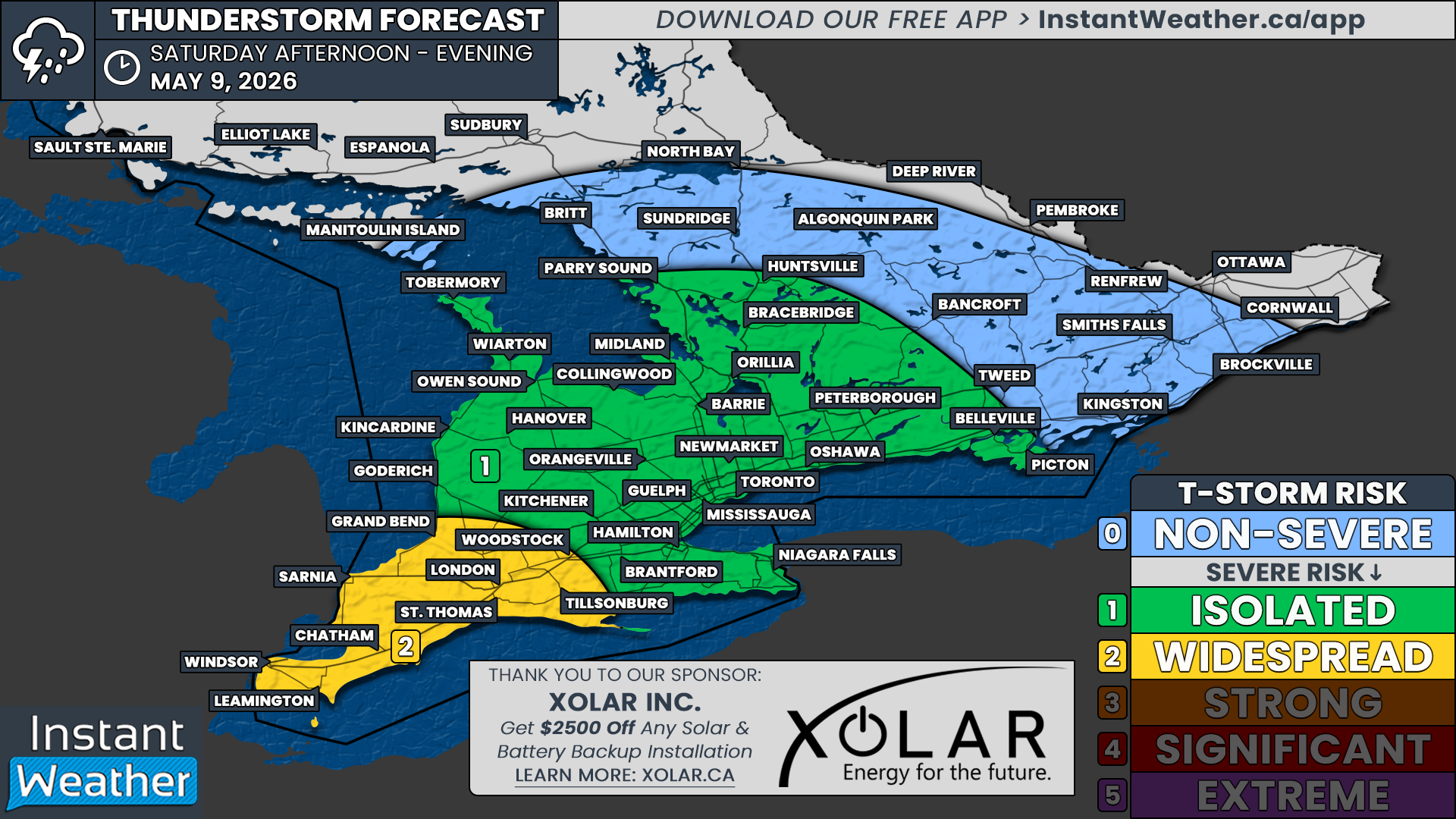
Unfortunately, this warm-up isn’t all sunshine. It will come hand-in-hand with some unsettled weather. A potentially strong line of thunderstorms is expected to cut across Southern Ontario on Sunday morning and afternoon. The latest data suggests that this line of storms could develop over Lake Huron by late morning and track eastward, making its way onshore just east of Lake Huron and Georgian Bay.
SIMULATED RADAR @ 12 PM ON SUNDAY - MAP FROM WEATHERBELL
There is still some uncertainty regarding the intensity of these storms. The early timing and limited warm air this far north may impact how severe the storms get. However, the atmosphere seems primed to support at least a marginal severe threat. We could see strong wind gusts, potentially reaching 90 km/h, and even hail up to quarter-size. There’s also a possibility that the risk level could be upgraded to slight by morning if conditions appear more favourable.
There is a low tornado risk—while it can’t be completely ruled out, the messy, linear storm structure might limit the chances of an isolated tornado forming. Still, it’s always better to stay cautious when severe weather is in the forecast.
This line of storms will continue pushing eastward through the Golden Horseshoe and areas east of Lake Simcoe by early to mid-afternoon. There’s potential for some intensification as the day progresses, or we could even see additional storms developing in the wake of the initial line. The zone between Bancroft, Peterborough, and Durham Region, and possibly stretching into Niagara, seems to have the highest risk for severe weather, should the conditions align more favourably.
By the late afternoon, the bulk of the storm activity will shift into the United States, where further severe weather could develop over Upstate New York and Pennsylvania. As a result, the storm threat across Southern Ontario should rapidly diminish by early evening. Given the time of year and the fact that cooler weather is set to follow, it’s quite possible that this could be our last widespread severe weather event of the season.
ESTIMATED TEMPERATURE @ 7 AM ON TUESDAY - MAP FROM WEATHERBELL
Speaking of cooler weather, expect a noticeable drop in temperatures as we start the new week. By Monday and Tuesday, much of Southern Ontario will feel the chill, with daytime highs struggling to climb into the mid-teens.
Central and Eastern Ontario could be even cooler, with some areas potentially stuck in single-digit highs. The nights will be even colder. On both Tuesday and Wednesday mornings, some regions in Central and Eastern Ontario could dip below 0°C, bringing a risk of frost for a large portion of Southern Ontario.
At this point, we’re not expecting s-word to enter the forecast this week at least in Southern Ontario, but the cold snap will certainly make it feel like fall has truly arrived. So, if you’ve been holding off on packing away your summer wardrobe, it might be time to start thinking about those cozy sweaters and heavier jackets.
LONG RANGE TEMPERATURE FORECAST FOR THANKSGIVING SUNDAY - NOTE: THIS WILL LIKELY CHANGE! (MAP FROM WEATHERBELL)
However, there might be some good news as we look ahead to the Thanksgiving long weekend. Early indications suggest a potential return of warmer air by next weekend, bringing with it another temperature boost. Some models hint at temperatures pushing 20°C once again in parts of Southern Ontario, which would be quite a surprise for Thanksgiving, given that we’ve seen flurries on the holiday in previous years!
It’s still too early to say for sure, though, as the forecast could change over the coming days. But for now, we’ll remain optimistic about the possibility of a pleasant, mild Thanksgiving weekend. As always, we’ll be monitoring the situation closely and will provide a more detailed Thanksgiving preview later this week.


