Frosty Start Early This Week as Extreme Cold Brings Intense Snow Squalls in Parts of Southern Ontario
/Get ready for a blast of Arctic air across Southern Ontario this week! A surge of polar air will cause temperatures to plummet over the weekend and into early this week.
This extreme cold is also expected to trigger a multi-day snow squall event, which could result in significant snowfall for the usual snowbelt regions.
Dangerous wind chills approaching -30°C by Monday night, combined with intense snowfall rates, will create hazardous travel conditions. The hardest-hit areas are likely to be along the Lake Huron shoreline, including Grey, Bruce, and Huron counties.
Moderate wind gusts of 40-60 km/h could lead to blowing snow, with localized blizzard-like conditions possible. Non-essential travel in these regions should be avoided, as the extreme cold could quickly turn life-threatening if you become stranded.
While exact snowfall totals remain uncertain, the cold temperatures will enhance snowfall ratios, resulting in higher-than-usual snowfall rates for the same amount of moisture. Portions of Grey and Bruce counties along the shoreline could see snowfall accumulations exceeding 50 cm.
Lake Ontario and Lake Erie may also see localized lake-effect snow starting Sunday night and continuing through Tuesday. The Niagara region and Prince Edward County could receive 25-50 cm of snow in some areas, though accumulations will be highly localized.
TIMING
HOURLY SNOWFALL RATE/intensity - MAP FROM WEATHERBELL
The event will begin with light snow across Southwestern Ontario and the Golden Horseshoe on Monday evening. Lake enhancement along the Lake Huron shoreline and parts of the Western GTA and Northern Niagara region is expected.
However, it’s unclear how far these snow bands will extend inland, with some models suggesting they’ll remain close to the shoreline.
For example, high-resolution Canadian models show an intense but narrow squall near the Goderich region that doesn’t stretch far inland.
Similarly, a Lake Ontario squall may take an unusual path through Grimsby, St. Catharines, and Niagara-on-the-Lake, staying close to the shoreline.
HOURLY SNOWFALL RATE/intensity - MAP FROM WEATHERBELL
Overnight Sunday into Monday morning, a more stable wind direction could allow a Lake Huron squall to push farther inland, potentially affecting Kitchener, Hamilton, and Burlington.
These areas could see a few hours of heavy snow during the morning commute.
HOURLY SNOWFALL RATE/intensity - MAP FROM WEATHERBELL
By late Monday morning, the squall may gradually drift northward, reducing snowfall around Goderich as the wind shifts westerly. The Grey-Bruce region is likely to bear the brunt of the snow squalls at this point.
The Toronto area might see the edge of the squall by late morning, but snow intensity there remains uncertain.
HOURLY SNOWFALL RATE/intensity - MAP FROM WEATHERBELL
On Monday evening, a persistent squall is expected to form across the Bruce Peninsula and extend over Georgian Bay into Muskoka.
However, it may struggle to reach far inland, confining the heaviest snow to shoreline areas like Parry Sound, MacTier, and Bala. Bracebridge and Gravenhurst might avoid the worst of the snow—a welcome break after this winter’s relentless storms.
Lake Erie and Lake Ontario squalls will also intensify Monday night, with the Lake Erie squall drifting north into Port Colborne and Fort Erie.
Meanwhile, the Lake Ontario squall could impact southern Prince Edward County. Unfortunately, these squalls are unlikely to shift much overnight, meaning sustained snowfall and high winds could create treacherous conditions.
HOURLY SNOWFALL RATE/intensity - MAP FROM WEATHERBELL
As Tuesday morning approaches, the Lake Huron squall may refocus on southern Bruce County, including Owen Sound, Sauble Beach, Kincardine, and Hanover. These areas could face significant snowfall throughout the day.
The Lake Erie squall may drift southward, offering some relief to the Niagara region, though Fort Erie could remain under heavy snow. For Prince Edward County, the Lake Ontario squall may persist through much of Tuesday, delivering relentless snowfall.
A wind shift late Tuesday should end snow squalls off Lakes Erie and Ontario, but activity off Lake Huron may reposition toward the Bruce Peninsula and Muskoka.
Details for snow squall activity beyond Tuesday night will be covered in future updates.
THE BIG CHILL
The big factor fueling these squalls is the frigid air moving over the relatively warm Great Lakes.
Temperatures could drop to -20°C by Monday night, with wind chills in the -30s for many parts of Southern Ontario, including the southwest.
This dangerous combination of extreme cold and heavy snow could lead to life-threatening conditions if you get stranded outdoors.
That’s why it’s critical to avoid travel during this period and stay home whenever possible.
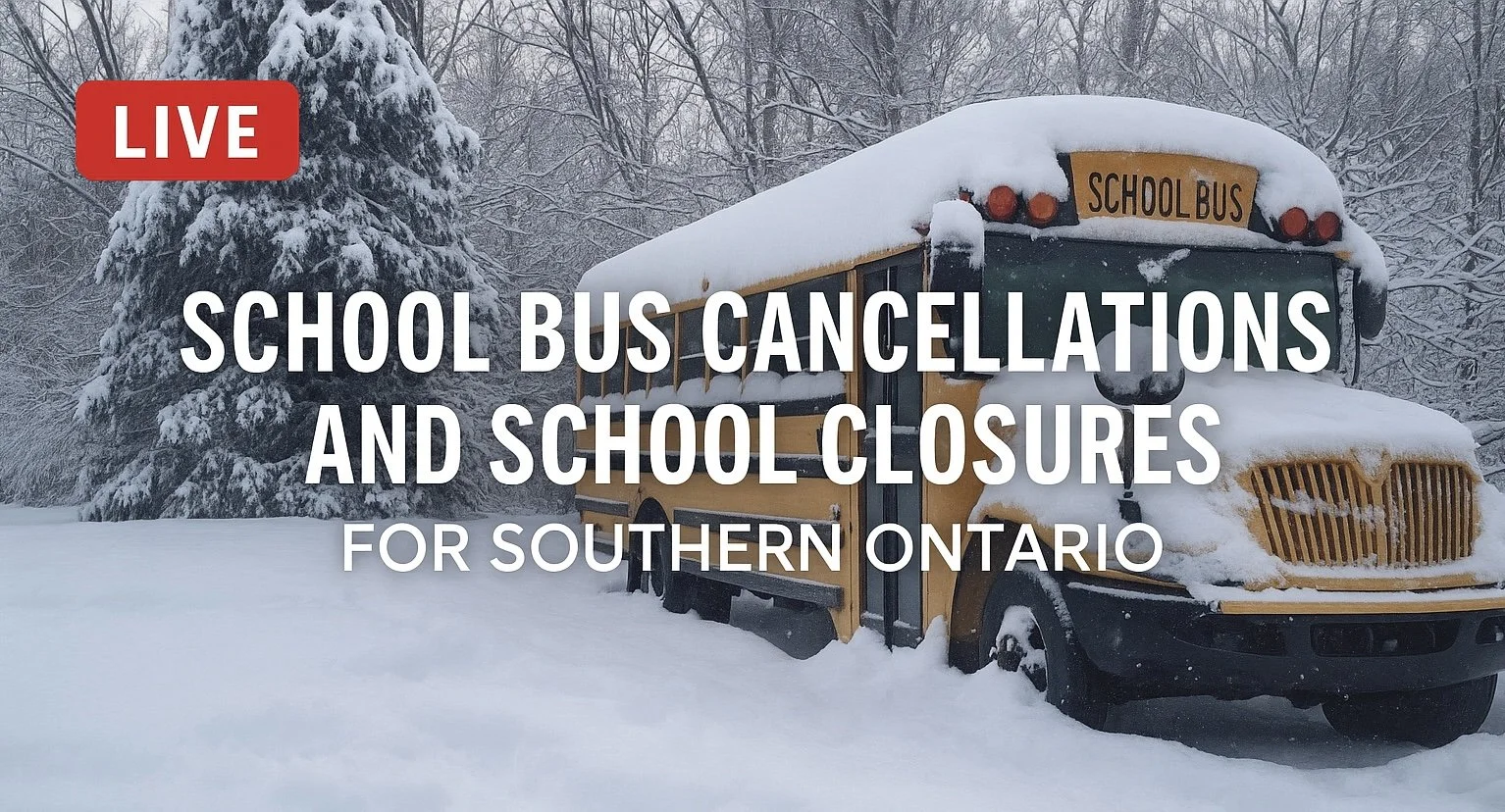
School bus cancellations are likely on Monday and Tuesday due to both extreme cold and snow squalls.
HOW MUCH TO EXPECT
As always with snow squalls, their narrow and shifting nature makes forecasting totals challenging. Some areas may see just 1 cm, while others a short distance away could be buried under 50 cm.
Model data suggests that Bruce County will be hardest hit, particularly along the Bruce Peninsula, Port Elgin, Kincardine, and Point Clark, where over 50 cm of snow is possible.
Huron and Grey counties, including Owen Sound, Chatsworth, Hanover, Wingham, and Goderich, could see up to 50 cm in places.
Inland areas like Kitchener and Orangeville may get up to 25 cm, while the Eastern Georgian Bay shoreline, including Muskoka, could see similar totals.
The Niagara region, especially along its northern and southern edges, may get up to 25 cm of snow between Monday night and Tuesday. In Prince Edward County, localized totals of 50 cm are possible, especially in southern areas.
Kingston could see up to 10 cm, while eastern Ontario and deep southwestern Ontario will likely receive no more than 5 cm.
Stay tuned for updates as high-resolution models refine snowfall predictions.
For now, it’s clear that this storm will bring a mix of extreme cold, heavy snow, and treacherous travel conditions to Southern Ontario. Stay safe and stay prepared!


