Winter Storm Could Dump Over 20cm of Snow in Southern Alberta This Weekend
/NOTE: YOU CAN CLICK ON THE MAP TO OPEN A ZOOMABLE IMAGE
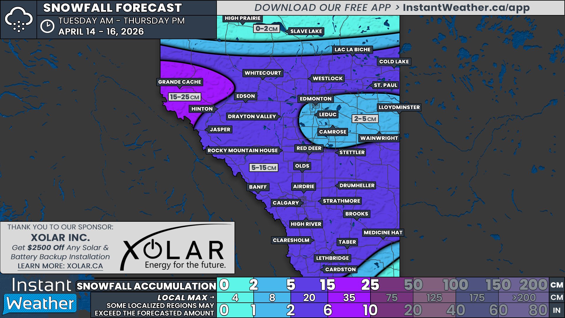
After missing out on the heavy snowfall that hit Saskatchewan and Manitoba earlier this week, Alberta now gets its turn, with a winter storm slated to hit this weekend. Much of Central and Southern Alberta can expect to see 10-20cm of fresh snow by Sunday afternoon, but a precursor blast of snow ahead of the main event means that the southeast could receive upwards of 30cm.
Following some scattered flurries overnight throughout Southern Alberta, the first round of snow will move into the province late Friday morning from the southwest. This band will build northward along the Rockies and spread northeastward across Southern and Central Alberta throughout the afternoon and evening. The snow will be heavy at times in the south, leading to a quick accumulation of 5-10cm for areas south of Calgary.
Late Friday evening and overnight, as the snow continues spreading north into Grande Cache and areas north of Edmonton, the second round of snow will start making its way into Southern Alberta along the same track as the first. This more organized band will merge with the initial round of snow in the early morning hours of Saturday and will intensify starting in the Southern Rockies shortly before dawn. Snowfall rates are expected to exceed 2cm/hr, leading to rapid accumulation in the morning and early afternoon along a stretch from Pincher Creek to Oyen. It’s in this area that residents can expect to receive more than 20cm of snow by late Saturday.
To the north, the snow will spread into the Grande Prairie area in the early hours of Saturday when the storm becomes more organized. As the system gradually pushes eastwards throughout the day Saturday and into early Sunday, the snow across Central Alberta and parts of Northern Alberta is expected to be steady and light, resulting in widespread totals of 5-20cm. Most of the Rockies will be skipped over by the second round of snow, leading to a limited amount of snow accumulation overall from this storm.


