Summer’s Last Hurrah as Heat Returns to Southern Ontario & Conditional Strong Severe Threat on Tuesday
/Ready or not, the end of summer is rapidly approaching, with just one week left before students head back to school. Signs of autumn are already peeking through, with Environment Canada issuing a frost advisory last week in Northern Ontario, and of course, the arrival of pumpkin spice latte season!
However, it seems that Mother Nature has decided to give us one last taste of mid-summer weather. The start of this final week has brought steamy conditions, with warmer air making it feel like the 30s or even low 40s in some areas thanks to the humidex.
Along with the return of hot temperatures, we can expect some active weather, with multiple rounds of thunderstorms likely on Tuesday, possibly extending into Wednesday. While there is some uncertainty regarding the exact strength and timing of these storms, there is a risk that some could reach severe levels, bringing damaging wind gusts, large hail, and the potential for one or two tornadoes.
As mentioned, the dynamics of Tuesday’s storm risk remain highly conditional on timing. Some models suggest that decaying thunderstorm activity from Michigan could track into Southwestern and Central Ontario during the morning hours. If this occurs, it could deplete the atmospheric energy needed for storms later in the day when conditions are more favourable.
It's important to highlight that the potential for a "bust" in this event is moderately high, which is why we're focusing on the overall storm threat based on the environment, should storms develop.
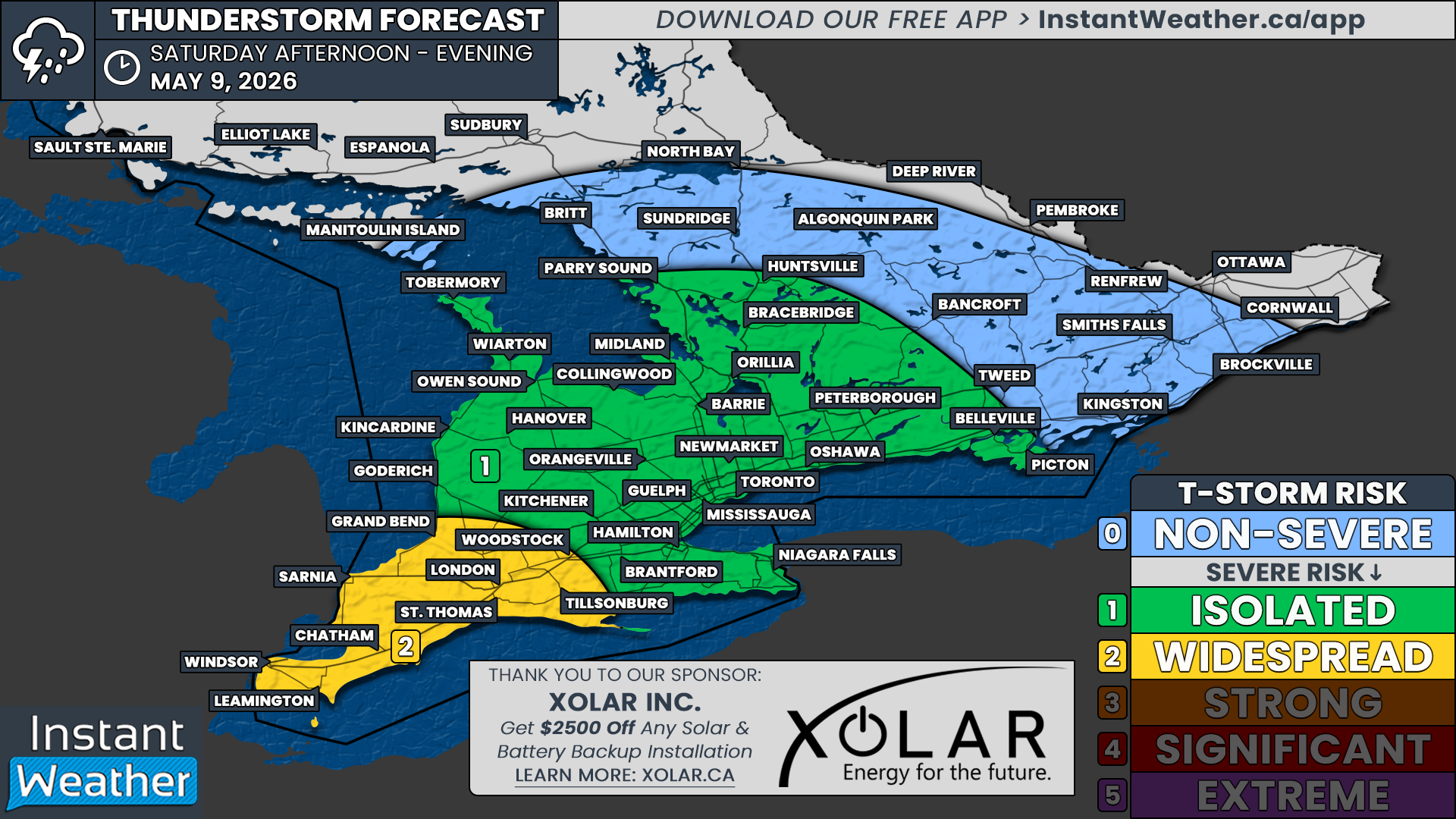
The strongest conditions are expected along the southeastern shoreline of Lake Huron, extending into Deep Southwestern Ontario during the afternoon and evening hours. Storms could begin developing anytime between 12-1 PM and continue until sunset around 8 PM.
There is higher confidence in storm development further northeast around Lake Simcoe and into Central Ontario, though the environment isn't as strong in these areas. Multiple rounds of thunderstorms throughout the afternoon and early evening could impact the North Bay, Muskoka, Parry Sound, and Algonquin Park regions, with flash flooding being the primary concern.
In addition to the daytime storm risk, there are indications of a nocturnal storm risk around midnight, continuing into the pre-dawn hours of Wednesday. A strong line of storms could form over Michigan or Lake Huron and track across Southern Ontario. However, this will depend on earlier storms and how much energy remains in the atmosphere.
NOTE: YOU CAN CLICK ON THE MAP TO OPEN A ZOOMABLE IMAGE
Regarding expected storm hazards, we're assigning a 'strong' risk (level 3 out of 5) for parts of Southwestern Ontario, including Windsor, Chatham, Sarnia, Grand Bend, and London, based on the potential for widespread wind damage—again, this is conditional on storm development. Large hail up to the size of toonies and one or two tornadoes are also possible threats.
There is a widespread 'slight' risk for the rest of Southwestern Ontario and into Central Ontario. All storm hazards are possible, including strong wind gusts, large hail, and an isolated tornado. As mentioned, storms in Central Ontario could bring a flash flooding threat, with rainfall totals potentially reaching 100 to 150mm in the hardest-hit locations.
Further east, the Golden Horseshoe and a portion of Eastern Ontario are under a 'marginal' risk, where some storms later in the day or overnight could approach severe limits, primarily due to strong wind gusts and hail up to the size of quarters.


