Messy Wintry Mix to Impact Alberta & Saskatchewan for the First Week of November
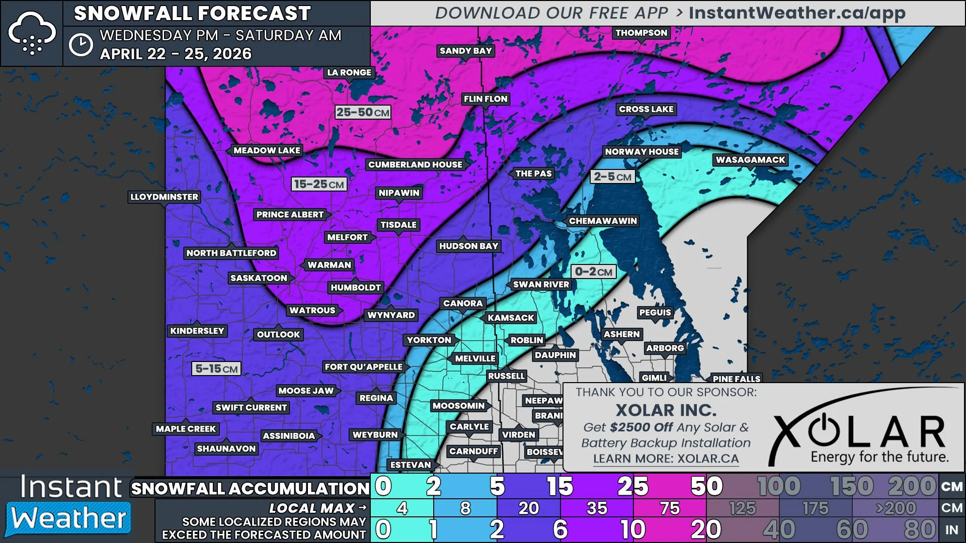
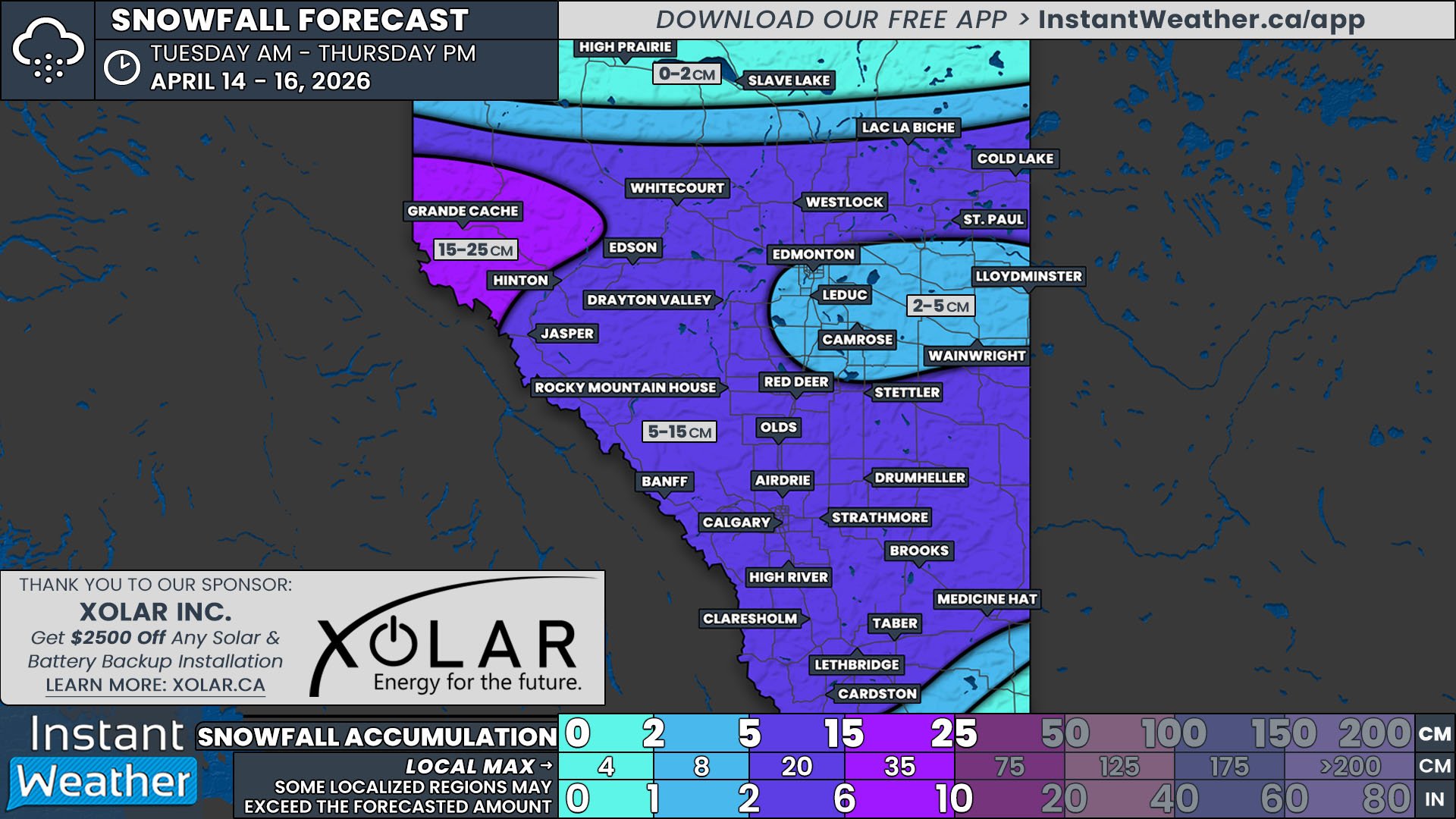
/NOTE: YOU CAN CLICK ON THE MAP TO OPEN A ZOOMABLE IMAGE
The first week of November is going to have an active and messy start across Southern Alberta and Saskatchewan. The arrival of a low pressure system will bring widespread precipitation Monday and Tuesday, but the dominant type of precipitation that falls will vary throughout the region.
The low pressure centre will cross into Alberta Monday morning in the Grande Cache area, bringing steady light snow to the area. As the low gradually travels southeastward across the province throughout the day and overnight, the precipitation will follow and spread across much of Central and Southern Alberta and continue for most of the day Tuesday. The low will move into Saskatchewan by early Tuesday morning, bringing precipitation to the southwest region of the province throughout the morning and into the late evening before dissipating.
The exact snowfall accumulation across Alberta and Saskatchewan from this system has been tough to forecast, with temperatures in the single digits for a large part of the region, meaning that the precipitation will fall as a mixture of rain and snow. This, combined with still mild ground temperature, should greatly reduce overall snow accumulations. As a result, we’ve gone with a more conservative snowfall forecast. The areas with the greatest snowfall potential, and the least mixing, will be found to the west of the low pressure system, behind its associated cold front and in the area with the coolest air, namely in the Grande Cache area and through the Rockies.


