Strong Risk for Severe Thunderstorms in Southeast Saskatchewan This Evening and Through Sunday Morning
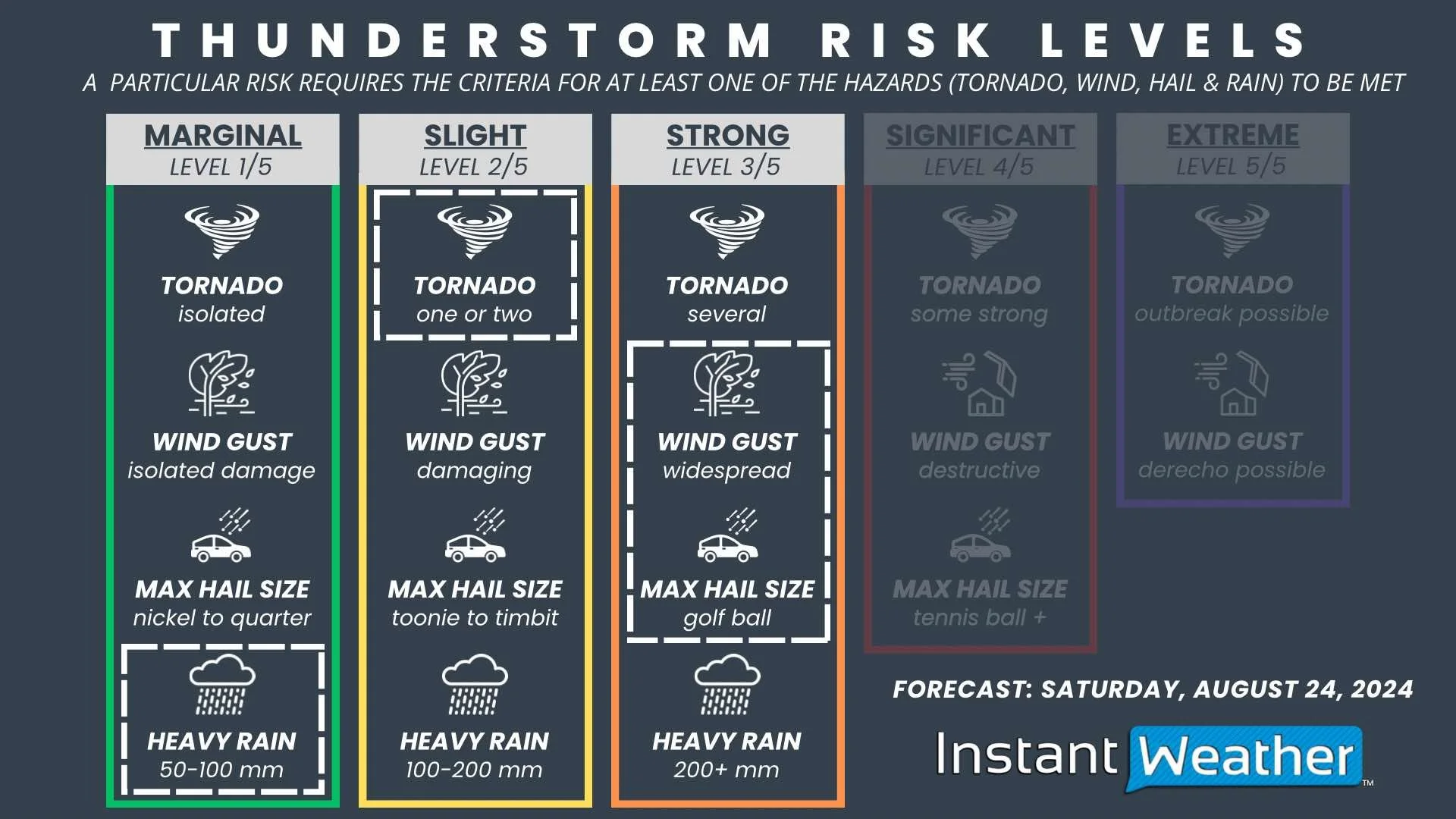
/Southeastern Saskatchewan is in the crosshairs for severe weather once again, with some storms firing up along the American border later this evening followed by another round of strong storms early Sunday morning. The hail, wind, and tornado risk between the evening and morning storms makes this a Strong Risk along the southern border and a Slight Risk stretching through Southeast Saskatchewan and into East Central Saskatchewan.
The activity will begin this evening with the development of supercell storms along the Montana border that will push northeastward through the late evening. These storms could be quite strong and will be followed by even more development from south of the border after midnight. This second round is expected to be more organized and bringing more widespread impacts as they follow the northeastward trend across Southeastern Saskatchewan through the morning.
These storms could be quite impactful with very large hail that will likely be golf ball-sized, possibly even larger, and widespread damaging wind gusts upwards of 120km/h, as well as one or two tornadoes. There is also the concern of localized flooding with heavy downpours that could bring up to 100mm of rain.


