A Brief Blast of Winter Will Blow Through Central Alberta to Finish the Week
/NOTE: YOU CAN CLICK ON THE MAP TO OPEN A ZOOMABLE IMAGE
It was a snowy start to the week in Alberta and it looks like the same can be said for the end of the week as well. This time, however, the snowfall will be shorter-lived and not as widespread. Once again, temperatures hovering just above the freezing mark beyond the Rockies will result in precipitation falling as wet snow or a rain and snow mixture as the system tracks eastward across the province.
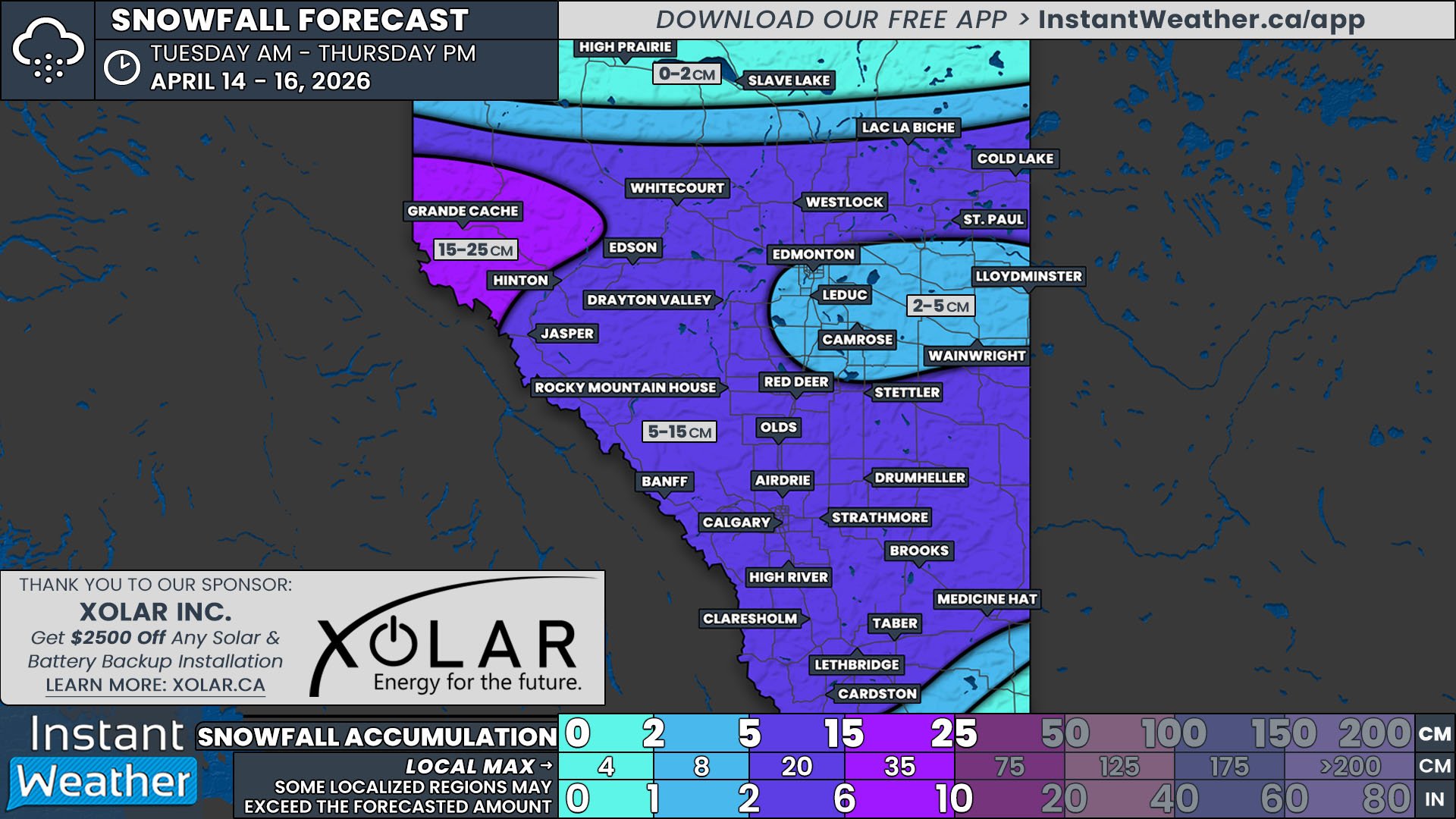
Steady light rain is slated to begin in the Grande Cache area and the northern edge of the Rockies Friday morning. The rain will be mixed with snow in the mountains, leading to a bit of accumulation. By the evening, the rain will start to transition to wet snow which will begin to spread southeast into Jasper and along the Icefields Parkway. The snow will stall over this region for roughly 24 hours, leading to over 10cm of snow falling by Sunday morning.
On Saturday morning, a patch of precipitation will break away with a weak low-pressure center and push eastward across the width of the province over the course of the day. Given the single-digit highs expected across Central Alberta on Saturday and how quickly the system will move through the region, this light precipitation will likely fall as a mix of rain and snow and snowfall totals are forecasted to be less than 2cm.
After crossing into Saskatchewan, this patch of precipitation will lose a bit of its eastward momentum as the system interacts with an even stronger low coming up from the States that has been bringing historic snowfall to parts of New Mexico. As the system stalls, the snow will persist overnight Saturday and into mid-morning Sunday over an area just west of the Saskatchewan border, from Cold Lake to Lloydminster, bringing snowfall totals closer to 5cm.
It looks like snow is once again in the forecast to start next week so keep your shovels ready!


