Isolated Severe Threat to Cap Off the Weekend for Parts of Southern Ontario on Sunday
/Many across Southern Ontario enjoyed a beautiful start to the weekend on Saturday, with temperatures soaring into the upper 20s and even low 30s. This prompted Environment Canada to issue heat warnings in some parts of Southern and Northern Ontario, as this prolonged period of hot weather is expected to continue into the upcoming week.
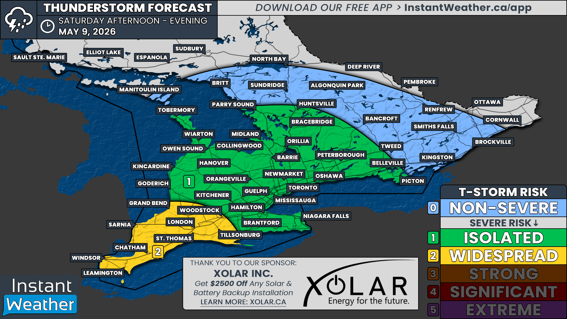
As is typical, the hot temperatures are expected to fuel several rounds of potential severe weather over the next few days. This will begin on Sunday with an isolated severe risk for parts of Southwestern and Central Ontario, along with the Greater Toronto Area.
Current data suggests that there could be two separate rounds of storms on Sunday. The first round could lead to a noisy wake-up call during the morning hours as a decaying line of storms crosses over Lake Huron into Southwestern Ontario from Michigan.
We expect that the line will reach our region sometime between 8 and 10 a.m. However, there is some disagreement among the models on how strong this line will be by the time it crosses the border.
If it doesn’t fizzle out before reaching our region, it could feature marginally severe wind gusts ranging from 90 to 100 km/h along the Lake Huron shoreline and into Deep Southwestern Ontario. The tornado threat is fairly low due to the timing and storm mode, but as always, it can’t be fully ruled out.
This first round will be critical in setting the stage for the second round of storms later in the day during the afternoon. If the morning storms take longer than expected to clear out and linger into the early afternoon, this may prevent the daylight heating needed for further storm development.
Provided that the morning storms move out in a timely fashion, we expect isolated storms to pop up anywhere from Lake Huron extending to the northeast into areas around Lake Simcoe and parts of Central Ontario. This could begin as early as 2-3 p.m. with storm development possible through the early evening hours.
Due to the lower confidence in storm development, we are currently forecasting a marginal (level 1) severe risk. Any storms that do develop could present all severe hazards, including damaging wind gusts, large hail up to the size of quarters, and maybe even an isolated tornado.
We may need to consider an upgrade to a slight (level 2) risk in an updated forecast once we see how fast the morning storms clear out and allow for further daylight heating.
The storm threat will come to an end by the late evening hours on Sunday once the sun goes down. We are closely watching the potential for more storms on Monday; however, at this point, the threat is looking extremely isolated with limited storm development. Tuesday is looking a lot more active in terms of storms.


