Freezing Rain Threatens Icy Sunday Across Saskatchewan & Manitoba
/What previously looked like a possible widespread ice event, according to weather models, has luckily down-scaled and will now only impact a narrow track across parts of Saskatchewan and Manitoba.
A disorganized system will cross into Southeast Saskatchewan from Montana after midnight tonight, travelling northeastward and reaching Manitoba shortly before sunrise. This system will only bring a narrow band of precipitation to the region, but due to the presence of warm air aloft and below freezing temperatures at the surface, this precipitation will fall as freezing rain. The freezing rain will be light and last for several hours, resulting in ice accretion amounts up to 5mm.
Temperature Profiles and Precipitation Types
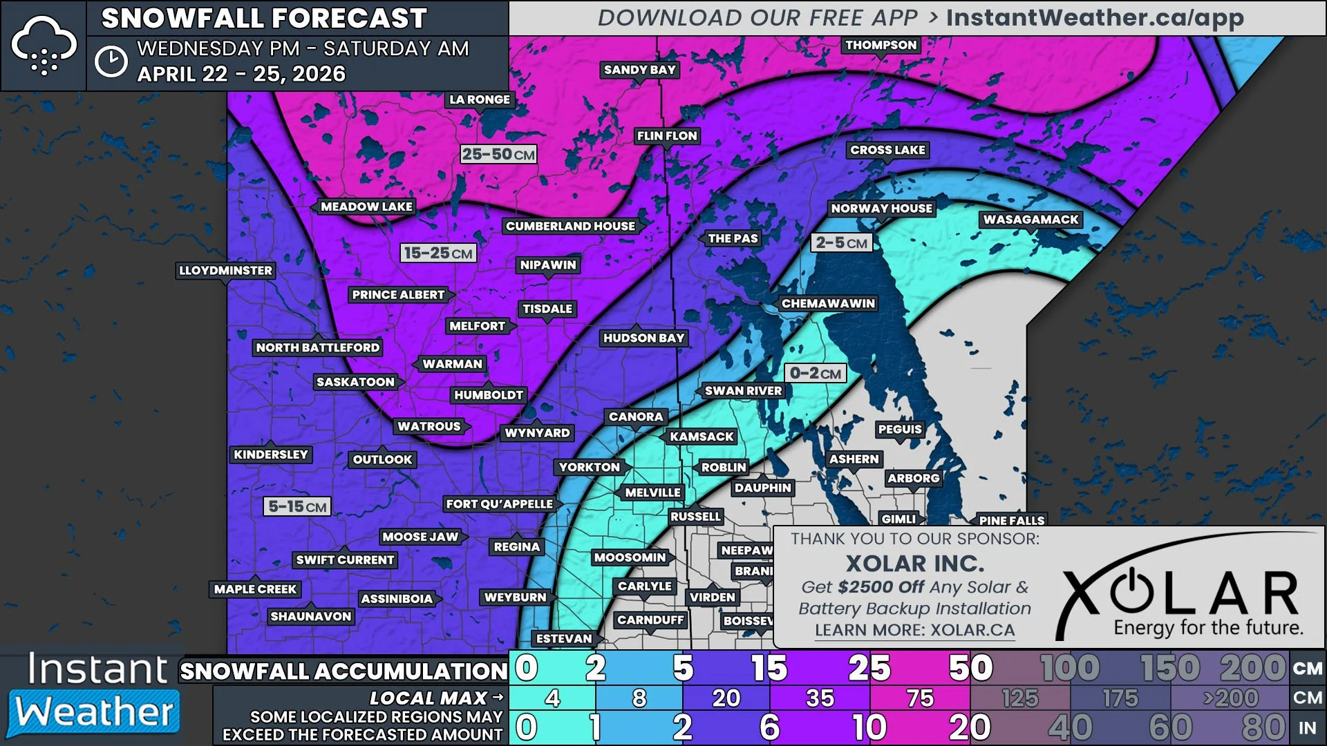
By around the lunch hour, the freezing rain will start to taper off and transition over to snow. As the entire system pushes eastward, Southern Manitoba will also start to see some snow moving in from North Dakota Sunday afternoon. The system will become more organized throughout the evening and overnight, leading to the development of additional snow in Central and parts of Northern Manitoba. There is still some uncertainty regarding exact snowfall amounts, but it looks like the southern half of the province can expect 5-15cm of fresh snow by the end of Monday.


