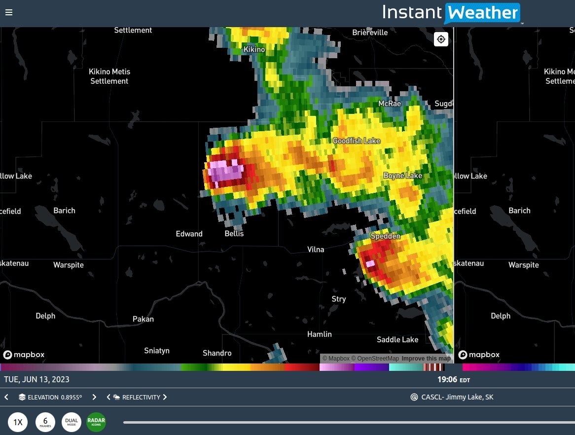
🛠️ Requested Features (Updated May 2025)
/We appreciate all the suggestions that have come in from our awesome community! Some of these features are already in development or under consideration, while others may take time depending on feasibility and system performance. If you have more ideas, feel free to reach out as your feedback helps shape IW Pro.
✅ Already Requested (From Aug 10, 2023)
Lighter coloured map option
A more contrast-friendly map theme for better visibility during daylight or in low-contrast setups.Drop-down boxes for radar products and elevation/tilts
In addition to arrows, having a drop-down menu can help quickly select specific options.Switch settings to on/off toggles instead of dropdowns
Aimed at improving mobile usability, especially on touch-based browsers with limited UI support.Include timestamp info in alerts
More detail about when each alert was issued or last updated.Auto-load new frames during radar animation
Improve Live Mode so new frames are seamlessly added during playback.Different error messages when a radar station is down
Distinguish between “station offline” and “network/load issue” to help users troubleshoot faster.
📝 New Suggestions (2024–2025)
Lightning and alerts in Historical Mode
Currently, historical radar does not display lightning or alerts. This is a frequently requested feature.Improve Great Lakes visibility
Some users have noted the lakes are hard to see (black on almost black). A visual update is under consideration to make them stand out more clearly.Improve accuracy of storm track arrows
Arrows occasionally point in the wrong direction. Watching a few frames of reflectivity can help, but backend refinements are planned.Precipitation type (snow/rain/etc.) in station radar
Currently shown only in Mosaic Radar; users would like to see this per station if feasible.Map and radar layer customization
This is on the roadmap! Many users have asked to customize map backgrounds, radar colours, and toggle overlay layers.
⚠️ Features Temporarily Unavailable
U.S. Alert Descriptions
These were lost during a rollback to a previous version and are currently not displaying. We plan to restore them in a future update.Environment Canada Thunderstorm Forecasts
This feature is temporarily unavailable but will return in a future version.
-
Examples
- Jul 22, 2023 Example of bow echo-type storm with counter-rotating vortices Jul 22, 2023
- Jul 23, 2023 Hail spike example Jul 23, 2023
- Jul 8, 2026 Spotting Outflow Boundaries in IW Pro Jul 8, 2026
-
Features
- Jul 17, 2023 Canadian Alerts Jul 17, 2023
- Jul 24, 2023 🛠️ Requested Features (Updated May 2025) Jul 24, 2023
- Sep 9, 2023 Measurement tool in single mode Sep 9, 2023
- Jul 10, 2024 IW StormRisk preview Jul 10, 2024
- Jul 10, 2024 Mosaic Radar Layer Jul 10, 2024
- Jul 10, 2024 U.S. alerts Jul 10, 2024
- Jul 30, 2024 IW StormRisk is live Jul 30, 2024
- Aug 26, 2024 IW StormRisk storm track arrows and colour key Aug 26, 2024
- Aug 26, 2024 Listing and full description of alerts Aug 26, 2024
- Feb 28, 2025 Environment Canada's "Thunderstorm Outlooks" Feb 28, 2025
- Feb 28, 2025 🛠️ IW Pro Settings Overview (last reviewed May 2025) Feb 28, 2025
- Mar 23, 2026 Canadian Radar Outages Now Available in IW Pro Mar 23, 2026
- Mar 23, 2026 Weather Alerts in IW Pro: More Control Than Ever Mar 23, 2026
- Jun 27, 2026 Understanding Storm Relative Velocity (SRV) in IW Pro Jun 27, 2026
-
Getting Started
- Jul 23, 2023 White screen on mobile - Update Aug 15 Jul 23, 2023
- May 20, 2025 Introduction to Instant Weather Pro May 20, 2025
- Jul 9, 2026 Getting Started with IW Pro Jul 9, 2026
-
How-to
- Jul 22, 2023 Live Mode vs Regular Mode vs Historical Mode Jul 22, 2023
- Jul 22, 2023 How to read radar Jul 22, 2023
- Sep 6, 2023 Adding IW Pro to your Home Screen Sep 6, 2023
- Mar 23, 2026 How to Update the Credit Card Linked to Your IW Pro or TMA Subscription Mar 23, 2026
-
News
- Sep 6, 2023 Recent Improvements as of Sept 6 Sep 6, 2023
- Sep 9, 2023 Improved experience for Android mobile users Sep 9, 2023
- Sep 9, 2023 Measurement tool in single mode Sep 9, 2023
- Mar 23, 2026 Canadian Radar Outages Now Available in IW Pro Mar 23, 2026
- Mar 23, 2026 Weather Alerts in IW Pro: More Control Than Ever Mar 23, 2026
-
Resources
- Jul 24, 2023 The Anatomy of the Life of a Supercell Jul 24, 2023
- Jun 24, 2025 🌪️ Tornadoes, Downbursts, and Microbursts: What’s the Difference and How to Spot Them on Radar Jun 24, 2025
-
Troubleshooting
- Jul 23, 2023 White screen on mobile - Update Aug 15 Jul 23, 2023
- Jul 24, 2023 Tip for map on mobile devices Jul 24, 2023
- Sep 6, 2023 Adding IW Pro to your Home Screen Sep 6, 2023
- Sep 9, 2023 Improved experience for Android mobile users Sep 9, 2023