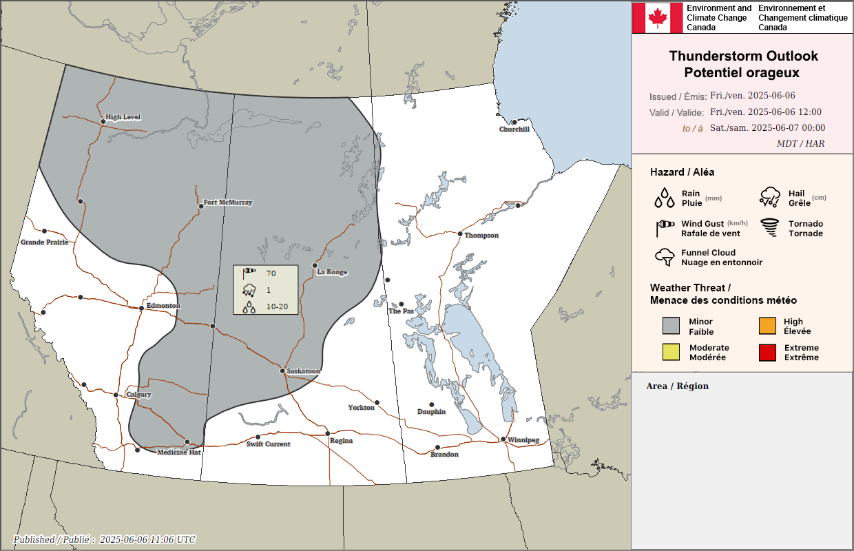
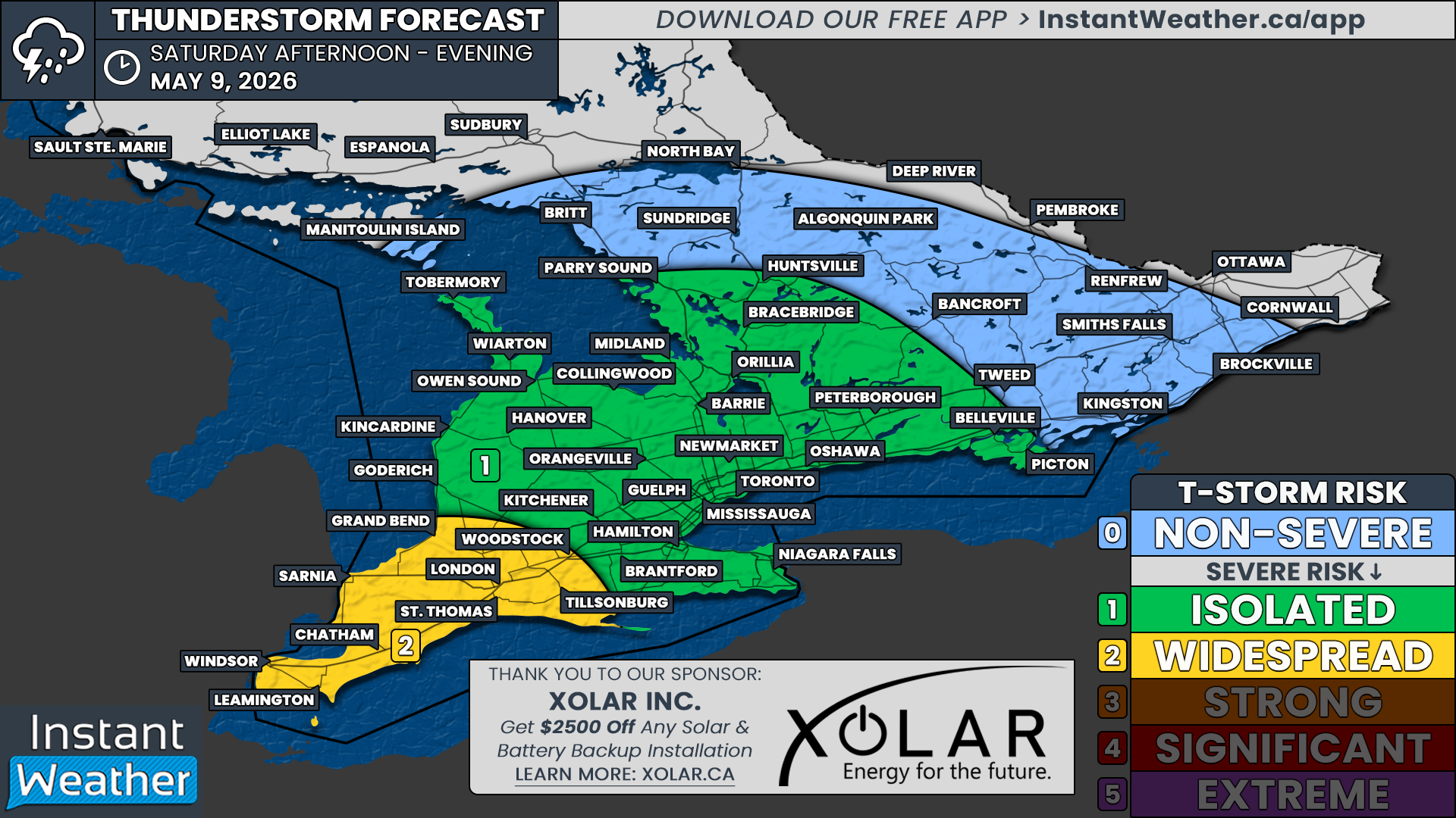
Risk of Timbit-Sized Hail from Severe Thunderstorms Across Parts of Alberta for Canada Day
/
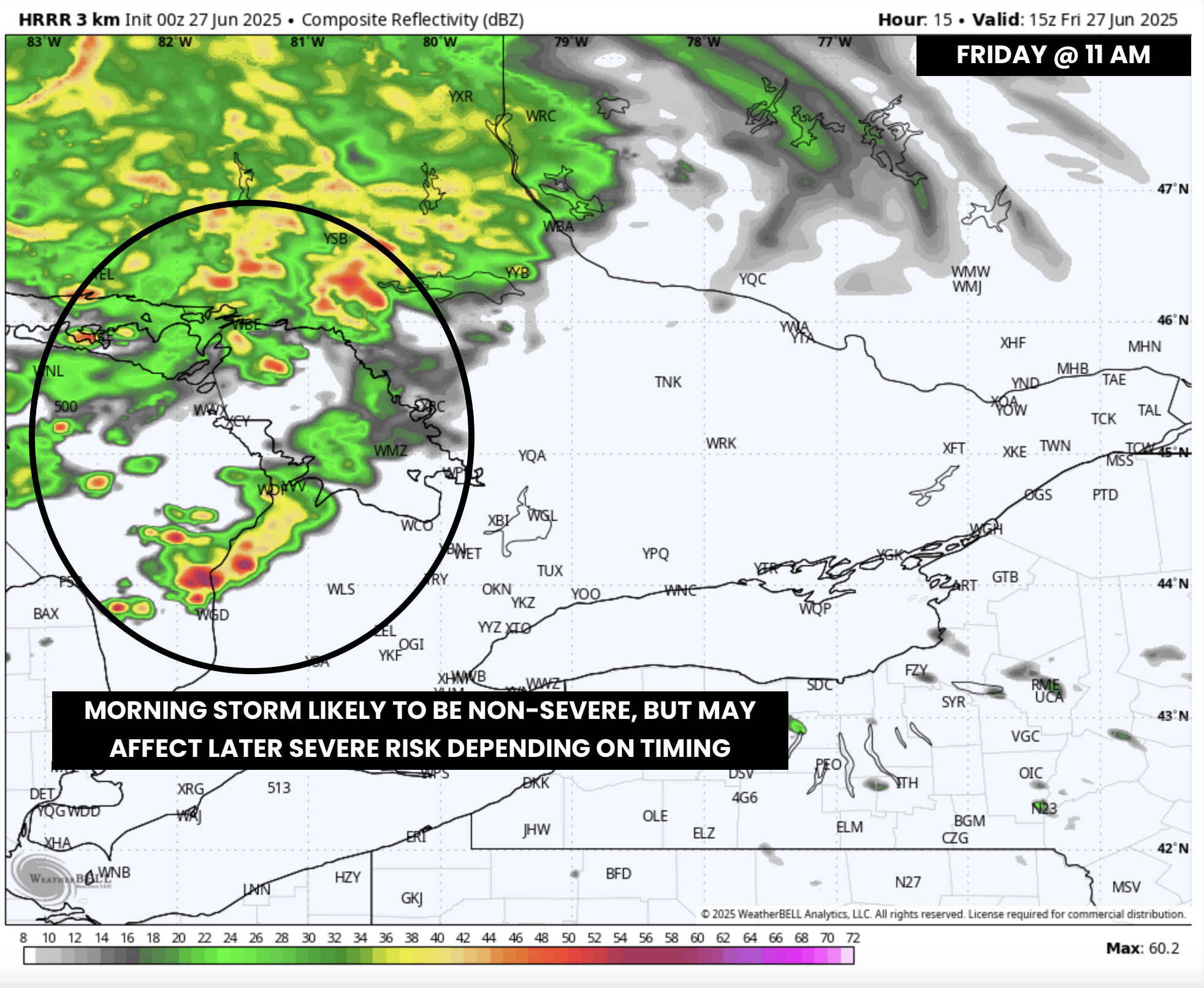
NOTE: YOU CAN CLICK ON THE MAP TO OPEN A ZOOMABLE IMAGE
There could be some natural fireworks in parts of Alberta today for Canada Day!
Thunderstorms are likely to develop along the Foothills early this afternoon, around 12-2pm, which are expected to travel northeastward across the region throughout the afternoon and evening. However, some storms could end up following a more eastward trajectory through the day as they interact with the ridge which has been drawing some heat into Southern and Central Alberta.
Severe storms will possibly develop into multicellular clusters that could impact a wide area, but some isolated supercells are also probable. Large hail is the greatest risk from today’s storms, up to the size of Timbits or possibly larger, along with some strong wind gusts. Thunderstorms are expected to weaken in the late evening hours, with a majority of storms dissipating by midnight.